Saskatchewan and British Columbia are experiencing a streak of records in regards to its warmest winters in decades. The surprising statistics about the winter weather is changing both provinces’ historical temperature norms.
Twelve high temperature records were either tied or surpassed on Saturday alone in British Columbia. So it’s safe to say that an extraordinary December warmth has destroyed long-standing records. The temperature in Quesnel reached 10.2°C (50 °F), surpassing a record set in 1895 by 1.9 degrees Celsius.
As unseasonal warmth creates history in Victoria Harbor, Prince George, Quesnel, Vernon, and Victoria.
This was the fourth day in a row that century-old temperature records fell.

With a relatively scorching 14.5°C (58 °F) on Saturday, West Vancouver took center stage, breaking its own record from 1980 by a whopping four degrees Celsius. El Niño is blamed for the unusually mild weather, which will negatively impact the southern British Columbia ski and snowboard seasons. The lack of snowfall is affecting the ability of ski resorts, including the largest ski resort in NA, Whistler Blackcomb.
Not to be outdone, Saskatchewan saw its warmest December on record in six places, including major cities like La Ronge, Regina, and Saskatoon. There has been an extended period of warmth in the autumn and early winter, with some places experiencing temperatures more than 9°C above average. Interestingly, November and December in Regina and Saskatoon saw an unusual lack of nights below -20°C (-4°F), against an average of about 15 such nights per year in both cities.
British Columbia’s winters are a varied experience, from the rare snowfall in Vancouver to the harsh weather in the mountains. Only a few days of snowfall fall on Vancouver each year; in exceptional cases, snowfall can last up to a week, and in very rare cases, up to a month. Victoria remembers the “75-year storms” that buried the city under almost a meter (3 feet) of snow for six weeks in 1921 and 1996. A remarkable winter left an incredible 20 meters (65.5 feet) of snow in the mountainous regions east of the Alaska panhandle—six meters (19.5 feet) fell in the space of seven days. While the Rocky Mountains to the east receive a lot of snowfall, central British Columbia continues to be a desert devoid of snow despite the region’s low temperatures.
Saskatchewan in December
Saskatchewan’s winters are known for being long, lasting from early November to mid-March. Temperatures regularly stay below freezing during this time, even in the daytime. The two coldest months are January and February, when lows can drop as low as -30°C (-22°F) and highs can barely reach -10°C (14°F). Even though there isn’t much snowfall in the province, blizzards—severe winter storms with heavy snow, strong winds, and decreased visibility—can still occur.
The number of daylight hours decreases to as little as 8 hours per day by late December. Fortunately, even with the low sun angle throughout the winter, Saskatoon gets plenty of sunny days and clear skies most of the time. The “January thaw” is a rare brief break from the constant cold that occasionally results in temperatures above freezing. Additionally, chinook winds from Alberta can cause brief warming trends.
A remarkable 94 high temperature records were broken in Saskatchewan in December 2023. Saskatchewan shattered its all-time monthly temperature record twice. The ongoing El Niño pattern is connected to the province’s current dry spell. Nearly everywhere in the area saw below-average levels of rain; Meadow Lake, La Ronge, and Key Lake saw their driest Decembers ever. Rainfall was the only kind of precipitation that Saskatoon experienced; snowfall has not yet occurred in the city.
The airport in Regina recorded an unprecedented 27 days without any precipitation in December. This extended period of dry weather is consistent with the National Oceanic and Atmospheric Administration’s prediction, which shows a 54% likelihood of a “historically strong” El Niño continuing into winter. According to experts, there is a 50–60% chance that Saskatchewan’s temperatures will stay above average through at least February.
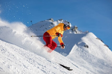
Residents and experts alike are left to consider the implications of this unusual weather pattern as these heat records continue to be set. As the unusual warmth continues, ski resorts will continue to face operational challenges, and both provinces’ agricultural sectors may suffer as a result. The unusual warmth experienced in British Columbia and Saskatchewan is a sobering reminder of the changing patterns of the climate, which will require more research and attention in the years to come.
