Lake effect snow, as the name says, is the snow that falls due to the effect of nearby lakes. It is a snow effect caused by the cooling of the warm lakes. This phenomenon is common throughout the Great Lakes region in the late autumn and winter. In addition to those areas, lake effect snow is also prominent on the west coast of Japan, Lake Baikal, the Great Salt Lake, the Baltic Sea, and the North Sea.
What is Lake Effect Snow?
This event occurs when the heavy and intense snow comes from colder areas and passes over warm water bodies. In the Great Lakes, the freezing air of Canada is responsible for lake effect snow. The air passes through the warm open water of The Great Lakes making the heat and moisture transferred to the lower layer of the atmosphere.
When the air is full of heat and moist, clouds begin to form as the air rises. These clouds grow into tight bands, which are what cause the intense snowfall known as lake effect snow. These bands have the potential to produce up to three inches of snow an hour in some situations.
The locations that will be impacted by lake effect snow are mostly determined by the wind direction. Heavy snowfall can be localized and provide a striking difference between adjacent places depending on the direction of the wind.
It is not unusual to have a lot of snowfall in one place while the sun may be shining a short distance elsewhere. The particular wind patterns that convey the air masses impacted by lakes are the cause of this fluctuation.
In addition to wind direction, the physical topography of the land and water affects the distribution of lake-effect snow. The geography of the area and the dimensions and forms of the lakes are some of the elements that affect how much snowfall will take place.
Formation of Snow Lake Effect
The mechanism involving the mixing of cold Arctic air with warmer bodies of water results in the development of lake-effect snow. Here’s a detailed breakdown of how lake-effect snow is produced:
- Warm Water Under Cold Air: A lake or other body of water’s warmer surface is crossed by Arctic air. Since the water is warmer than the surrounding air, it starts to evaporate into the chilly air.
- Moisture Absorption: The chilly air becomes more humid as a result of absorbing moisture from the warmer water. The air warms as a result of this interaction because it absorbs heat and moisture from the lake. As the air gets warmer and more humid, it loses density and rises. The air cools as it passes through an ascent.
- Cloud Formation: The air cools even more as it rises over the lake. Precipitation and clouds can arise in cooler, wetter air. When condensation takes place, clouds are created.
- Lake Effect Snowfall: Snowfall due to the lake effect is caused by condensed moisture in the atmosphere. This is when the lake effect snow starts to fall, and it can snow heavily at this time, resulting in large accumulations.
- Shoreline “Piling Up”: When the cloud mass carrying the precipitation starts to approach the shoreline, it “piles up.” This results from the air moving over land moving more slowly than it does over water because of more friction.
- Extra Lifting: Extra lifting results from the air accumulating along the beach. This lifting plays a vital role in augmenting the upward airflow.
- Downside Side Hills Influence: The air is further forced upward by hills located on the downwind side or the shoreline. The air cools even more as it is compelled to rise over the hills, which encourages further cloud formation and intensifies snowfall.
- Heavy Snowfall: These processes come to a head and release moisture in the form of heavy snowfall.
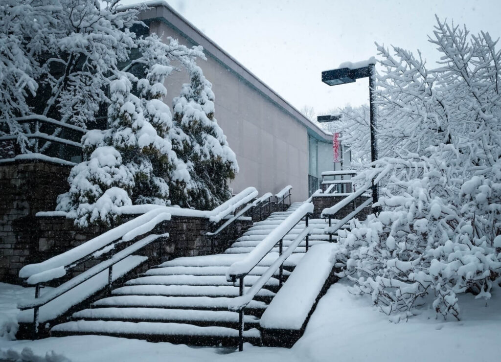
Lake effect snow happens in many places but The Great Lakes area experience remarkable levels of such effect. Buffalo is another place in the US where this event is common. The locals even have their own term for lake effect snow. They call it an “October Surprise”. The snow can accumulate more than 20 inches during October Surprise sometimes making it an unwelcome surprise indeed.
